|
| *****SWAAG_ID***** | 956 |
| Date Entered | 13/10/2016 |
| Updated on | 13/10/2016 |
| Recorded by | Tim Laurie |
| Category | Earthworks |
| Record Type | Archaeology |
| Site Access | Public Footpath |
| Record Date | 05/01/2013 |
| Location | Gilling with Hartforth and Sedbury CP. Gilling Wood |
| Brit. National Grid | NZ 152 049 |
| Record Name | The Gilling Wood Linear Earthwork |
| Record Description | The Gilling Wood linear earthwork dyke is undated but may have been planned and constructed to protect the north-western flank of Richmond and of the high road to Marske and Mid Upper Swaledale. Thus, if proved to be contemporary, enhancing the Grinton/Fremington Dyke complex.
The Gilling Wood Dyke is just 500m in length and comprises a very substantial frontal west facing ditch and rear rampart. The northern end of this earthwork terminates at the steep sided ravine of Smelt Mill Beck. Thus, this earthwork, of fairly mimimal length, incorporates the ravine of this stream which runs downslope towards Hartforth.
The linear earthwork together with the ravine and stream thus provide an effective continuous obstacle of at least 2.5km across the best line of approach to Richmond and Mid Upper Swaledale from the North and West. In short, an effective defensive barrier to a small band of raiding cavalry.
|
| Image 1 ID | 6995 Click image to enlarge |
| Image 1 Description | Entrance through the earthwork at change of direction. The Public Right of Way passes through this entrance. | 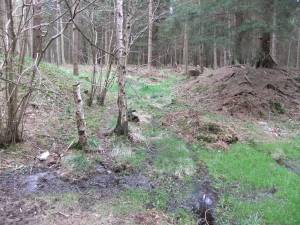 |
| Image 2 ID | 6996 Click image to enlarge |
| Image 2 Description | | 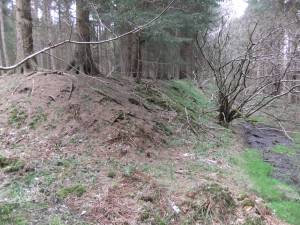 |
| Image 3 ID | 6997 Click image to enlarge |
| Image 3 Description | | 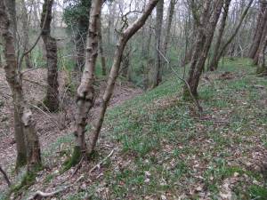 |
| Image 4 ID | 6998 Click image to enlarge |
| Image 4 Description | |  |
| Image 5 ID | 6999 Click image to enlarge |
| Image 5 Description | | 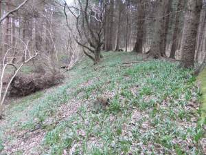 |
| Image 6 ID | 7000 Click image to enlarge |
| Image 6 Description | | 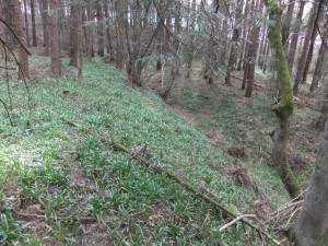 |


